After Decade Of Survey, India’s Ground Water Table Mapping To Complete This Year
The mapping of India’s aquifers, which is expected to be finished in March of this year, would enable all states to assess the supply of groundwater and the potential for recharging.
In response to a question, Minister of State for Jal Shakti Bishweswar Tudu stated that out of the approximate 33 lakh square kilometres of the entire country’s overall geographical area, 25 lakh square kilometres of mappable land had been discovered.
“So far, an area of 24.57 lakh sq km (as on December 30, 2022) has been covered under the programme. The remaining areas are targeted to be covered by March 2023,” he said in a written response to a question.
Since 2012, the Central Ground Water Board (CGWB) has been implementing the Ground Water Management and Regulation system, which includes the Aquifer Mapping and Management Program.
The program’s goal is to define aquifer disposition and characterise them so that aquifer- or area-specific ground water management plans can be created with community input.
The corresponding state governments are informed of the management plans in order to implement or take relevant action.
Different analyses are used in the scientific process of aquifer mapping to describe the quantity, quality, and sustainability of ground water in aquifers.
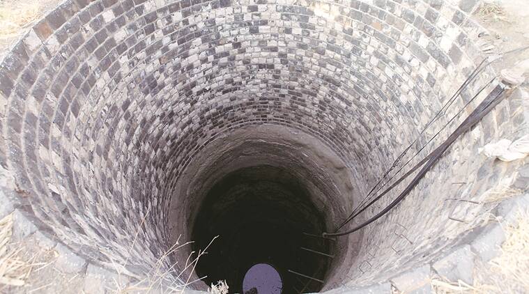
An aquifer is a water-bearing rock that easily transfers water to wells and springs. Aquifers can be accessed by drilling wells and receiving water through pumping.
Picture Courtesy: Google/images are subject to copyright