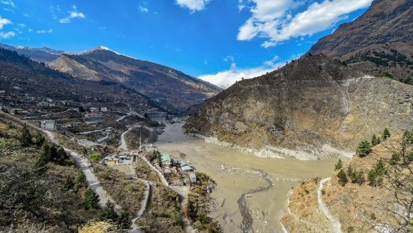
Joshimath Sank 5.4 cm In Just 12 Days, Show Satellite Images

In just 12 days, Joshimath in Uttarakhand sank 5.4 centimetres, according to a survey by the Indian Space Research Organization (ISRO).
The National Remote Sensing Center of ISRO has released satellite photographs that reveal the town dropped 5.4 cm between December 27 and January 8.
According to the article, which quoted witnesses, “a quick subsidence event that was triggered on January 2, 2022” caused the significant soil sinking.
“The crown of the subsidence is located near Joshimath-Auli road at a height of 2,180 metre,” ISRO’s study stated. “The rapid soil moving happened in the centre Joshimath, in the area around an Army Helipad and a temple.”
The space agency also discovered that the rate of sinking was far lower earlier in the year. Joshimath sank by 9 centimetres between April and November of last year.
Between April and November 2022, there was “slow subsidence up to 9 cm within the Joshimath town,” according to the research. The Cartosat-2S satellite is where the images were captured.
The “sinking” temple town, which serves as the entrance to well-known pilgrimage destinations like Badrinath, is on the verge of collapse as huge fissures start to develop in its structures and roads. Following a satellite assessment, about 4,000 people were relocated to relief camps.
The Uttarakhand government has stated that 678 homes, in addition to hotels and commercial buildings, are at danger.
Locals and specialists attribute the disaster to haphazard and unplanned infrastructure developments in the area, particularly a power plant that required drilling and blasting in the mountains.
Pushkar Singh Dhami, the chief minister of Uttarakhand, said a committee will decide the amount of compensation to be handed to the affected families, keeping in mind the interests of stakeholders. On Thursday, he visited Joshimath and spoke with villagers and experts.
Picture Courtesy: Google/images are subject to copyright


