Cyclone Ditwah Set to Intensify, IMD Warns of Heavy Rainfall Across South India
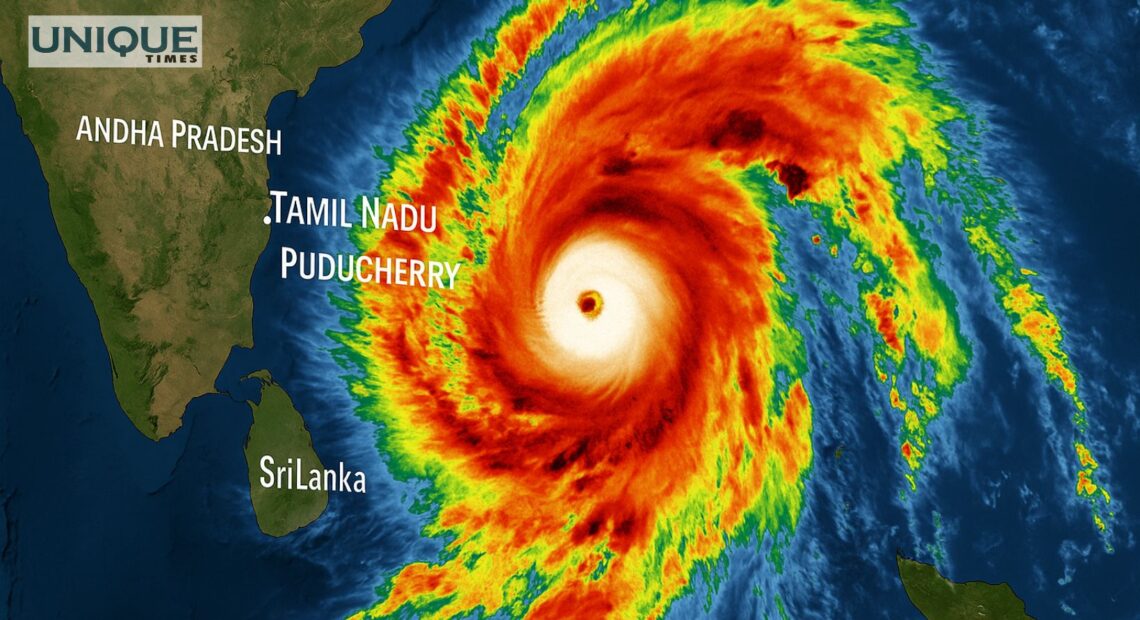
The India Meteorological Department (IMD) has issued a strong alert as Cyclone Ditwah, currently positioned near Sri Lanka and the southwest Bay of Bengal, is expected to intensify slightly and move toward the North Tamil Nadu–Puducherry coast by early November 30. IMD Director General Dr. Mrutyunjay Mohapatra said the storm, located about 480 km south of Chennai, is moving north-northwest and will re-enter the Bay of Bengal by November 29 morning. Rainfall has already begun along the Tamil Nadu coastline and is likely to increase significantly over the next 24 hours.
According to the IMD, the cyclone will trigger heavy to extremely heavy rainfall across Tamil Nadu, south Andhra Pradesh, and Puducherry, posing risks of urban flooding, localised inundation and flash floods in hilly regions. Strong winds may uproot trees, damage hoardings, and impact thatched or mud houses. The storm could also cause substantial harm to standing crops, particularly horticulture and vegetables in ripening stages. Sea conditions along the Tamil Nadu, Puducherry and south Andhra Pradesh coasts are expected to remain rough, with the possibility of storm surge inundation in low-lying areas.
Authorities have advised fishermen to avoid venturing into the sea until November 30, and urged regulation of marine and surface transport due to hazardous conditions. Residents in vulnerable districts have been asked to remain indoors and avoid travel during peak rainfall. Meanwhile, Sri Lanka continues to face severe devastation, with the cyclone claiming 69 lives and leaving 34 missing. India has launched Operation Sagar Bandhu to provide humanitarian assistance to the affected nation. The IMD expects the system to gradually weaken after November 30.
Pic Courtesy: google/ images are subject to copyright